Ambler Group Services | Utility Surveys | Topographical Survey | GPR Survey
Services

Topographical

Topographic Surveys by Ambler Group exemplify the pinnacle of precision and technological innovation, as we merge cutting-edge tools with our meticulous approach to deliver high-quality services, even in the most challenging and demanding circumstances. Our topographic surveys are meticulously crafted to provide our clients with the specific data they require throughout their project journey, from the initial conceptualization to the ultimate handover.

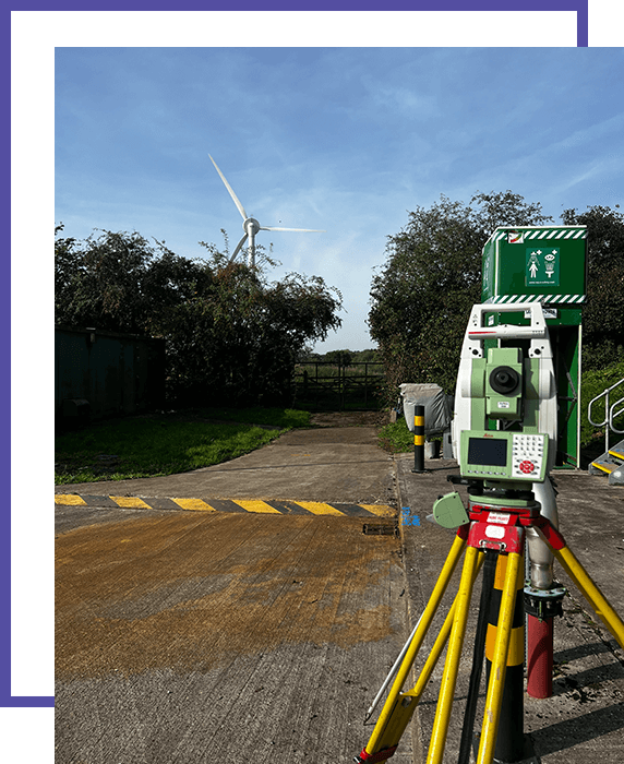
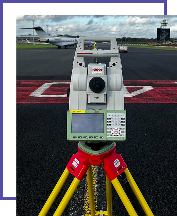
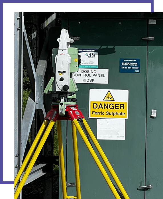
Our commitment to excellence is manifested through our adept use of advanced equipment, including robotic total stations, GPS technology, and 3D laser scanners. These state-of-the-art tools enable us to capture intricate details of the terrain, encompassing elevation data, structural features, road networks, changes in surface topology, and even the precise locations of manholes and street furniture. Once this wealth of information is at our disposal, we employ our expertise to transform it into 2D or 3D formats, tailored to meet your specific project needs and requirements.

The comprehensive suite of topographical services provided by Ambler Group includes:

Topographical Surveys

Our core service, these surveys provide a comprehensive overview of the terrain’s characteristics, helping architects, engineers, and project managers in the design and planning phases of various construction projects.

Measured Building Surveys

Leveraging the latest surveying techniques and equipment, we provide accurate measurements of existing structures, aiding in the development of architectural and construction plans.

3D Laser Scanning

Utilizing cutting-edge 3D laser scanning technology, we capture precise, high-resolution data of buildings and landscapes, enabling the creation of detailed 3D models for a wide range of applications.

Land Surveys

These surveys provide an in-depth analysis of the land, offering invaluable information for property developers, urban planners, and land management agencies.

Ambler Group Services | Utility Surveys | Topographical Survey | GPR Survey

Topographical surveys serve as the foundation for many aspects of project development, with their data being instrumental in the design of drainage systems, infrastructure, and landscaping. They also play a crucial role in utility planning and management, ensuring that essential services are accommodated and integrated seamlessly within the project’s framework.

At Ambler Group, our dedication to a holistic understanding of the terrain is exemplified through our utilisation of topographical surveys as a canvas for additional surveying activities. We seamlessly integrate utility and Ground Penetrating Radar (GPR) surveys, adding layers of vital information to our comprehensive topographic datasets. This integrated approach ensures that our clients possess a thorough understanding of the landscape, its underlying infrastructure, and the services available in the area.

Ambler Group Services | Utility Surveys | Topographical Survey | GPR Survey

Utility planning, in particular, benefits immensely from this multidimensional approach. Understanding the existing utilities’ locations and conditions is pivotal for avoiding costly disruptions during construction or excavation work. By marrying topographical surveys with utility surveys, we can pinpoint the precise locations of water lines, gas pipes, electrical cables, and other essential infrastructure, allowing for informed decision-making during the project’s planning phase.

Furthermore, our incorporation of Ground Penetrating Radar surveys adds another dimension to our data collection and analysis. GPR technology allows us to detect subsurface features, such as buried utilities, underground storage tanks, and structural anomalies. This information is invaluable for ensuring the safety and efficiency of construction projects, as it helps prevent unexpected encounters with hidden obstacles.

Our comprehensive approach also extends to environmental considerations. We gather data on the natural features of the land, which can be essential for ecological assessments and environmental impact studies. This meticulous data collection ensures that your project adheres to the necessary regulatory requirements and environmental standards.

In conclusion, Topographic Surveys by Ambler Group provide an indispensable foundation for a wide range of construction and development projects. Our commitment to precision, advanced technology, and integrated surveying services ensures that our clients have the most accurate and comprehensive data at their disposal. This, in turn, facilitates informed decision-making, minimizes risks, and ultimately leads to successful and efficient project outcomes. Whether you are embarking on a residential development, infrastructure project, or landscape design, our topographic surveys are the key to a well-informed and well-executed plan from start to finish.

Need a service & ready to book? Call us 01403 756 116

Contact Us

Get In Touch


    Contact Information

    Ambler Group Services | Utility Surveys | Topographical Survey | GPR Survey

    Phone:

    01403 756 116

    Ambler Group Services | Utility Surveys | Topographical Survey | GPR Survey

    Location:

    Ambler Group LTD
    Springfield House, Springfield Rd,
    Horsham RH12 2RG

    Company Registration number: 12568344